3D Matterport to 360 tour?16972
Pages:
1|
|
InStasy private msg quote post Address this user | |
Hi guys, I'm a beginner photographer, please tell me how can I change the Matterport 3D model into a virtual 360 tour? Matterport service doesn't have that option, there is only 3D space. Is there any application for this? Thanks for your help!     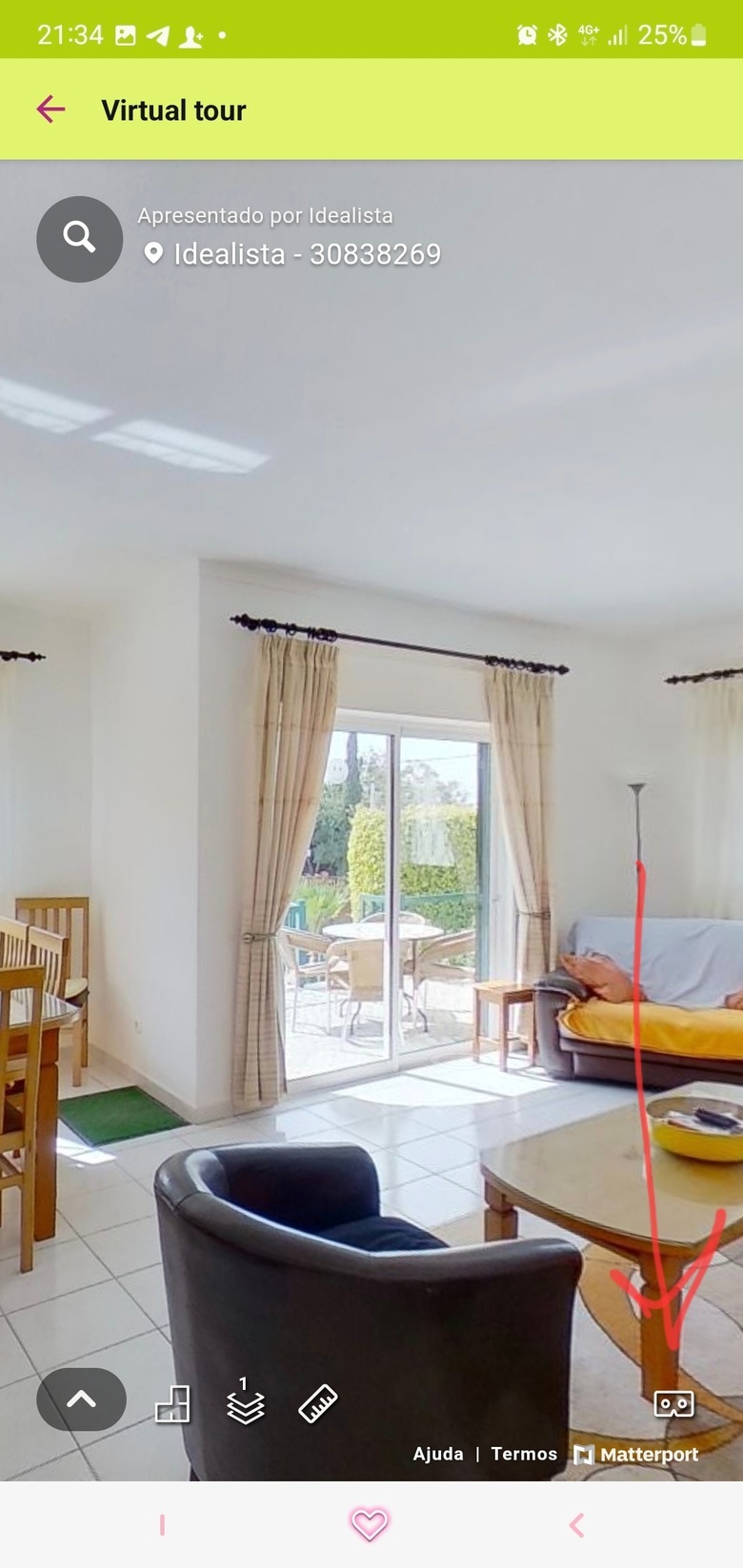  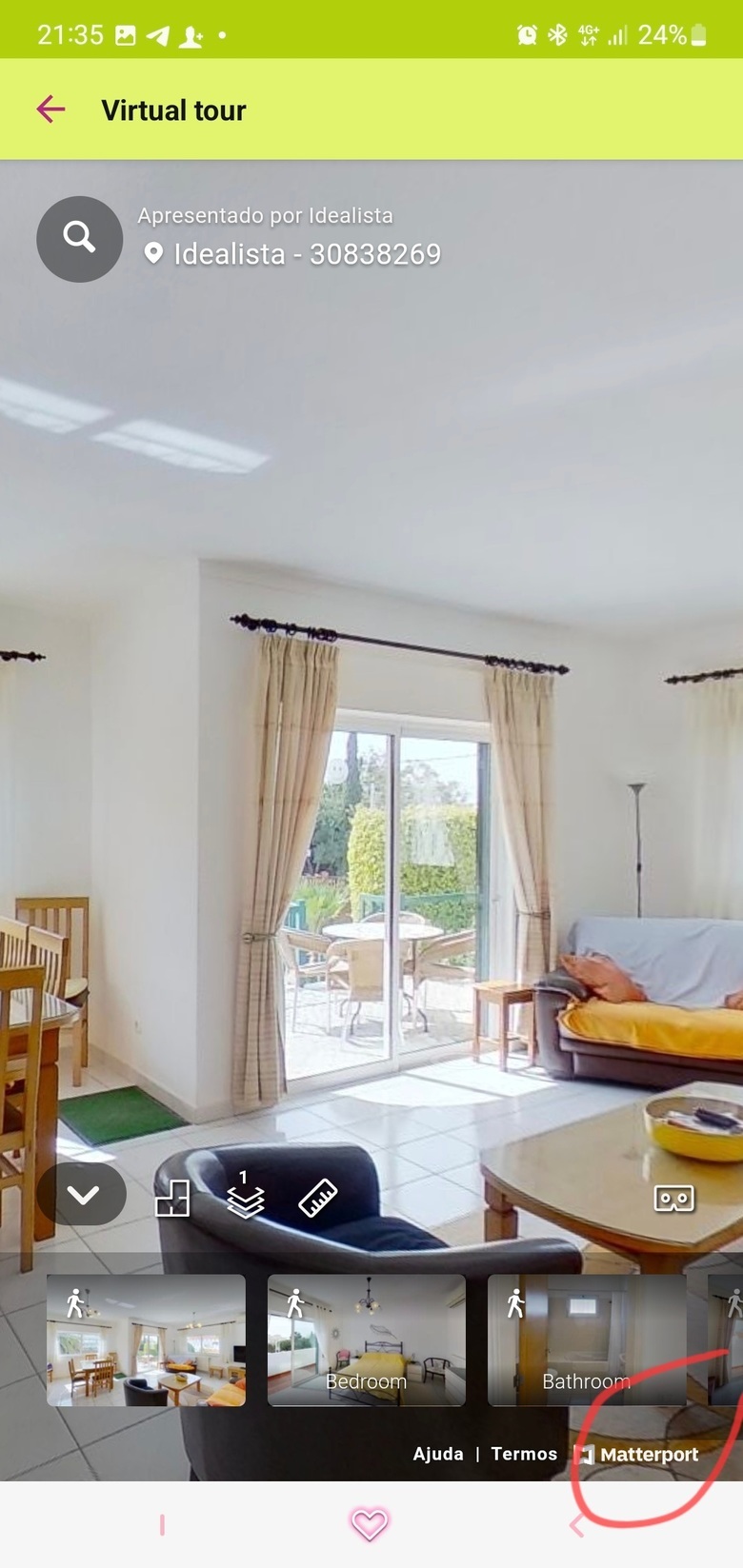 |
||
| Post 1 • IP flag post | ||
 WGAN Fan WGAN FanClub Member Queensland, Australia |
Wingman private msg quote post Address this user | |
| The only way I know to do it legally(not against Matterport T&C) is to publish it on Google Maps, grab it from there in 32mp resolution into Pano2VR Pro and you can do whatever you want with it after. Or use 3rd party overlays for Matterport. It's going to be a Matterport tour that must be on your Matterport account but with 3d party overlays you may be able to make it looking like it is not Matterport. With the first method though it will be just bunch of all 360 photos joined already and you can use Pano2VR skin templates or build your own. Once you get it into Pano2VR Pro you can delete the tour from your Matterport account |
||
| Post 2 • IP flag post | ||

|
Gladsmuir private msg quote post Address this user | |
| I agree with @Wingman that Pano2VR is the way to go. Those with current Matterport accounts can make the spaces inactive, and store them longterm at no further cost. You can also download the model from your device and back it up if you have a legacy account, or want to stop paying Matterport for a period of time. Oliver |
||
| Post 3 • IP flag post | ||

|
MeshImages private msg quote post Address this user | |
@Wingman Thanks for sharing, this is by far the best legal way out of Matterport.   |
||
| Post 4 • IP flag post | ||
|
|
ron0987 private msg quote post Address this user | |
| @Wingman I have not though about this, could you share workflow to do this? | ||
| Post 5 • IP flag post | ||
 WGAN Fan WGAN FanClub Member Queensland, Australia |
Wingman private msg quote post Address this user | |
Quote:Originally Posted by ron0987 It is simple. You publish a Matterport tour through Matterport add-on for Google. Once Matterport says it has been processed you open Pano2VR and go to Street View dialog. There is a feature called Street View browser that shows all tours submitted to Google under your Google account. Of course you should use the same account in Matterport add-on as you use for Pano2VR for it to work. Find a tour in the Street View Browser of Pano2VR and click download. Wait till it is all downloaded after which Pano2VR will ask you to save it as a project. And you are done. You have got the whole Google Maps tour created originally through Matterport system. And now you can do whatever you want with it enhancing it with Pano2VR tools. If you used a Pro2 to capture resolution of downloaded panos will be 32MP. |
||
| Post 6 • IP flag post | ||
 WGAN Fan WGAN FanClub Member Queensland, Australia |
Wingman private msg quote post Address this user | |
| BTW, Pano2VR supports obj as far as I know so it is possible to add a 3D dollhouse. I am sure experienced guys maybe able to even create a floor selection tool but if it is a single floor space it should be quite easy. You can get an obj purchasing a Matterpack or simply scan the floor with LiDAR apps for IOS. Some of them are quite good for it. Almost all will lose tracking for scanning something big like the whole property. However I am playing with Polycan app. It seems to work better and does not loose tracking if you turn an iPad camera off. And even with its camera off it still creates a real texture. It may be not that you are turning the camera off completelly, you just do not see a live video on your ipad screen during scanning. And it seems to help a lot and scans faster. All my attempts to do the same space but with the camera set to ON usually created some big artifacts when the app was loosing tracking where it was and started adding data where it did not belong. Here is an example of the whole area of my house scanned. It took 5 minutes to do and 5 minutes to process. It does look better to me than a 3D floor plan created by Matterport Pro 2. Sorry it is a bit messy but I was not planning to show it. I have done it for some idea not related to the asked question. |
||
| Post 7 • IP flag post | ||

|
MeshImages private msg quote post Address this user | |
| @Wingman It's maybe a little bit off topic, but you can increase the precision of the iPhone LiDAR scan significantly with a DJI Gimbal. If interested watch this video. | ||
| Post 8 • IP flag post | ||
 WGAN Fan WGAN FanClub Member Queensland, Australia |
Wingman private msg quote post Address this user | |
Quote:Originally Posted by MeshImages I thought of a phone IMU as a problem since I have been testing these apps. It is a very good idea in the video to use a gimbal for an iPhone. I had actually never thought of a gimbal until your post. And I believe any gimbal will work. However my problem is I have an iPad and there are no gimbals for them. Once I have my rover ready I will try IOS LiDAR scanning by moving my rover at constant slow speed with my Ipad tilted at different angles. That would require multiple passes though to do each different angle. So to reduce a number of passes while the rover moves at a slow speed I may try doing an orbital scan with some motorised rotator. |
||
| Post 9 • IP flag post | ||
Pages:
1This topic is archived. Start new topic?


