


Will Real Estate Drone Photography be Replaced by NOVI Space Intelligence?20723
Pages:
1
 WGAN Forum WGAN ForumFounder & WGAN-TV Podcast Host Atlanta, Georgia |
DanSmigrod private msg quote post Address this user | |
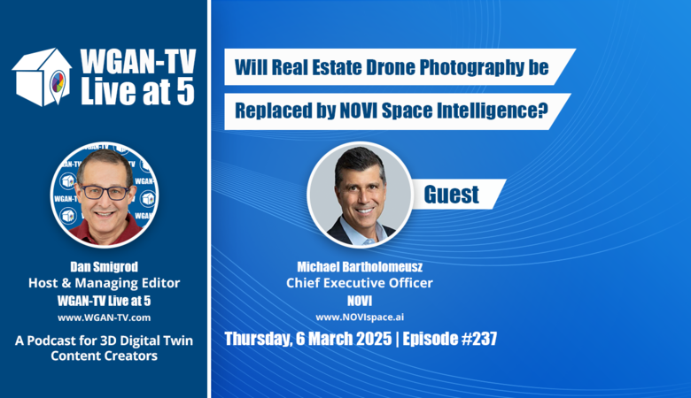 Text Me 5 Minutes Before WGAN-TV is Live | WGAN-TV | Will Real Estate Drone Photography be Replaced by NOVI Space Intelligence? | Guest: NOVI Chief Executive Officer Michael Bartholomeusz | Thursday, 6 March 2025 | Episode: 237 www.NOVIspace.ai Video: How Novi is Building Edge Computing Hardware for Satellites | Video courtesy of Just Rocket Science YouTube Channel | 6 January 2025 WGAN-TV | Will Real Estate Drone Photography be Replaced by NOVI Space Intelligence? Hi All, Are you wondering: ✓ If real estate images via satellite could replace drone photos? ✓ If satellite images may solve the problem when properties are located in a no fly zone? ✓ If satellite images could be less than 24 hours old and be super-affordable? Stay tuned! On WGAN-TV Live at 5 (5 PM ET) on Thursday, 6 March 2025, our guest is: ✓ Dr. Michael Bartholomeusz, Chief Executive Officer of NOVI NOVI is a Space AI infrastructure company deploying multi-sensor edge-processing satellites for Earth Observation (EO) coupled to a full-stack data/algorithm/intelligence management platform VISTAsat™. This space AI marketplace provides open-access to its satellite network, enabling companies/governments/developers to harness real-time space-based sensors, processors and intelligence thereby driving down cost, accelerating innovation, creating new use-cases and redefining how industries leverage EO. Our topic is: ✓ Will Real Estate Drone Photography be Replaced by NOVI Space Intelligence? Dr. Bartholomeusz will share insights into how the NOVI multi-sensor edge-processing satellites and VISTAsat™ AI marketplace may affect real estate photographers and digital property marketing. What You’ll Learn Here’s what we will cover during this WGAN-TV Live at 5 show: Space-Based Real Estate Imaging ✓ How the NOVI satellite technology captures property and land data. ✓ The advantages and limitations of satellite-based property imaging. AI-Driven Earth Observation for Real Estate ✓ How the NOVI AI-powered VISTAsat™ platform processes satellite data for actionable insights. ✓ The potential of space-based intelligence for real estate photographers. Cost and Scalability ✓ How the NOVI satellite solutions compare in cost to traditional drone-based real estate imaging. ✓ The scalability of the NOVI system for residential, commercial, and large-scale development projects. New Use Cases in Real Estate and Beyond ✓ How space-based AI may help real estate professionals with land assessments, risk analysis, and property monitoring. ✓ How real estate photographers that offer drone photography may benefit from real-time satellite intelligence. Why This Matters For real estate photographers, drone pilots, and industry professionals, space-based AI presents both opportunities and challenges. This episode will explore how satellite technology: ✓ Could complement—or even replace—traditional drone-based real estate imaging. ✓ Provides real-time, AI-enhanced insights at scale. ✓ Opens new revenue streams and applications beyond marketing photography. Among the questions I’ll Ask Dr. Bartholomeusz: Technology & Innovation Q: How does the NOVI satellite technology compare to traditional drones for high-resolution property imaging? Q: What role does AI play in processing and analyzing the NOVI Earth Observation data? Use Cases for Real Estate Q: How can real estate agents and developers use satellite-based intelligence for property assessments? Market Disruption & Adoption Q: Could space-based imaging replace real estate drone photography, or will they coexist? Q: What industries outside of real estate will benefit from the NOVI satellite network? Cost & Accessibility Q: How does the NOVI pricing model compare to hiring a drone photographer for real estate listings? Q: What’s the process for real estate professionals to access the NOVI imaging and analytics? Future of Space-Based AI Q: What’s next for NOVI in advancing real estate intelligence from space? Q: How will AI and edge-processing evolve in satellite-based Earth Observation? Other questions that I should ask Dr. Bartholomeusz during this WGAN-TV Live at 5 show? Best, Dan |
||
| Post 1 • IP flag post | ||
|
WGAN Forum Founder & WGAN-TV Podcast Host Atlanta, Georgia |
DanSmigrod private msg quote post Address this user | |
| Text Me 5 Minutes Before WGAN-TV is Live | WGAN-TV | Will Real Estate Drone Photography be Replaced by NOVI Space Intelligence? | Guest: NOVI Chief Executive Officer Michael Bartholomeusz | Thursday, 6 March 2025 | Episode: 237 www.Novillc.com Hi All, On WGAN-TV Live at 5 (5 PM ET) -- today -- Thursday, 6 March 2025, our guest is: ✓ Dr. Michael Bartholomeusz, Chief Executive Officer of NOVI NOVI is a Space AI infrastructure company deploying multi-sensor edge-processing satellites for Earth Observation (EO) coupled to a full-stack data/algorithm/intelligence management platform VISTAsat™. This space AI marketplace provides open-access to its satellite network, enabling companies/governments/developers to harness real-time space-based sensors, processors and intelligence thereby driving down cost, accelerating innovation, creating new use-cases and redefining how industries leverage EO. Enjoy your weekend, Dan |
||
| Post 2 • IP flag post | ||
Pages:
1