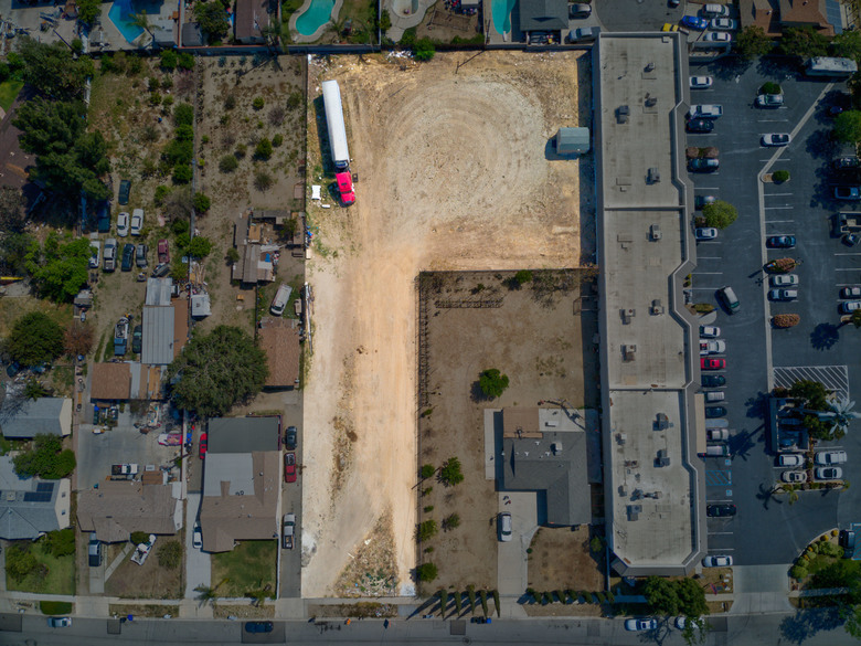
Drone photos/satellite showing plot view14948
Pages:
1|
|
dave3d private msg quote post Address this user | |
| What are the best apps/methods for showing a plot from above? | ||
| Post 1 • IP flag post | ||
|
|
3Din360 private msg quote post Address this user | |
| Depending on what city you’re in, most property appraiser websites have an aerial of the plot for each property in that county. | ||
| Post 2 • IP flag post | ||

Missoula, MT |
rpetersn private msg quote post Address this user | |
| Have you considered getting a 360 panorama image created by a drone pilot? Once you have that image, you can upload it to ThreeSixty Tours like the following example: https://threesixty.tours/demo/residential-development/ I hope this might help and please reach out with any other questions! Cheers, Ross @ ThreeSixty Tours |
||
| Post 3 • IP flag post | ||
|
|
dave3d private msg quote post Address this user | |
| Thanks Ross, What I’m looking for is a view like you’re opening shot but showing an outline of the plot. I’ll look further into threesixty |
||
| Post 4 • IP flag post | ||

|
Benrk0385 private msg quote post Address this user | |
| Hi Guys, I am trying to figure out how to integrate a matterport tour with drone footage, but I want the user to be able to navigate around “midair” as well like the following video shows. You guys know of any ideas on how to do this? Thanks for any replies. Here is what I am trying to do: https://youtu.be/PZIttX5sxJs |
||
| Post 5 • IP flag post | ||
|
|
RaeAllenMedia private msg quote post Address this user | |
@dave3d - Are you looking to draw a line around the area, or desaturate the exterior area |
||
| Post 6 • IP flag post | ||
Pages:
1This topic is archived. Start new topic?


