AEC Walkthrough Functionality11372
Pages:
1|
|
zenith012 private msg quote post Address this user | |
| Hello all, I've searched through the Internet, looked at the posts - looking for a direction. We do construction in large buildings (commercial, office, large residential, hospitals, airports, schools) which get as big as 1 Vanderilt in NYC, Vegas Hotels etc. We are mostly concerned with the inside of the building - so that is the focus. We want to relatively easily have a walkthrough which (in the end) produces a 360 scene, a walk/fly through flow (like google maps bopping along the arrows from place to place - or jumping from a plan to a place via a plan with multiple floors. We would like to do this over time - so compare the two spaces side by side to see how much work was completed as we walk through the same space. Want the two spaces to line up as automatically as possible (i.e. don't want to have to dedicate people to process the walkthrough, or have to adjust the side by side lining up each 'step' we take during the walk/fly though). I looked at a bunch of companies (web-site only) after my research, but (I) only found Cupix, Holobuilder seemed to have this functionality above. (I welcome opinions on those guys). - Cloud or Deployed is fine. - Pricing needs in the end to make sense. Since we have a lot of SFT any pricing model listed will need to be enterprise and probably not any website listed model - Geometry is not very important - it is more the 'status' reporting aspect and fly-through - Support is very important. If there is frustration the project managers will end this immediately. We know training is important and will dedicate time - but we all know why 'the Devil is in the details' is a phrase. There will be other good to have's - but would like a starting point. Any help greatly appreciated! Thanks! Dave |
||
| Post 1 • IP flag post | ||

|
TakedaSan private msg quote post Address this user | |
| HI @zenith012, I am also doing this research. But I am at the same point that you are. At the moment I found 3 companies that do it: https://www.holobuilder.com https://www.structionsite.com https://www.cupix.com And some member at the WGAN where talking at the forum how they are using Matterport for it too, but I think without the side by side function. Transcript: WGAN-TV How Matterport Pros can $$$$$ Scanning for "As-Builts" I don't know the prices of all this tools, but you can ask about. Regards, Takeda |
||
| Post 2 • IP flag post | ||
 WGAN Forum WGAN ForumFounder & WGAN-TV Podcast Host Atlanta, Georgia |
DanSmigrod private msg quote post Address this user | |
| @zenith012 Welcome to the WGAN Forum and for your detailed question. Yes. Cupix is the right solution for you, based on your Scope of Work. Here are WGAN resources to help you with your research on this topic: 1. All WGAN Forum discussions tagged: Cupix 2. 39A-WGAN-TV - CUPIX for Newbies/CUPIX Versus Matterport with CUPIX Director of Sales Scott Anderson 3. 12A-WGAN-TV Using the Cupix SLAM (iOS) App (Beta) to Capture a Space in 3D 4. [13A-WGAN-TV How to Build a CAD Model using the Cupix Platform 5. 40A-WGAN-TV CUPIX White-Label 3D Tour Player Solution Additionally, here are: ✓ 50+ 3D/360 virtual tour cameras ✓ 130+ 3D/360 virtual tour hosting software/platforms Best, Dan P.S. Please circle back and let us know what you decide and why. |
||
| Post 3 • IP flag post | ||
 WGAN Forum WGAN ForumFounder & WGAN-TV Podcast Host Atlanta, Georgia |
DanSmigrod private msg quote post Address this user | |
| @zenith012 Additionally, at a high level about Cupix and your Scope of Work 1. Use nearly any 360 camera to capture imagery 2. Capture quickly large spaces 3. Side-by-Side: Weekly construction documentation (screen view moves in unison) 4. Side-by-Side: BIM to weekly construction documentation (screen view moves in unison) 5. Cloud-based solution enables easy viewing worldwide on smartphones, tablets, laptops, desktops and VR 6. Password protection and easy sharing privately among team members 7. Like Google Street View on Steroids 8. Annotate space (notes for teams) 9. Great walk around experience including mini-map for knowing where you are and select places to jump to 10. Your project is the sweet spot for Cupix. You will get the help you need 11. Bonus: export to CAD Best, Dan |
||
| Post 4 • IP flag post | ||
|
|
zenith012 private msg quote post Address this user | |
| @TakedaSan : Thanks for the reply. We are familiar with Matterport. All kinds of legal issues (they own everything you stick on their site)and a host of other terms which will be unacceptable to our employers (i.e. building owners etc.) and conflict with our Employer NDA's etc. There are 3 agreements which are inconsistent and total like 50 pages. Took me an hour to mark them up in a sea of red. Didn't even bother sending to legal. Matterport will not negotiate on this. Plus it's like a Fraternity - Rule 10 Brothers against their Pledges (we (Matterport) can change the rules at any time. If you log in - you agree to them). So that's Dead On Arrival (DOA) right there. Beyond that.... like you said on Matterport - no side by side - and the 'value' is placed more into the 'geometry' capability. Nature of the beast though is Geometry is a function of the density of the data. So - if you want a quick walkthrough - you are talking minutes a scan with a camera/scanner such as the BLK360 - which will run you 20K. Keep in mind the BLK360 is not (so I am told) a LIDAR scanner (think error rates at distance). And naturally - the more you pay for the scanner the better, faster etc. When we want geometry for real (low error rate) we go LIDAR and straight to BIM tools.... David |
||
| Post 5 • IP flag post | ||
|
|
zenith012 private msg quote post Address this user | |
| @DanSmigrod Thanks Dan for the info etc. I will let the board know how it goes. Expect more questions David |
||
| Post 6 • IP flag post | ||
 WGAN Forum WGAN ForumFounder & WGAN-TV Podcast Host Atlanta, Georgia |
DanSmigrod private msg quote post Address this user | |
 Cupix Tour versus BIM: Side-by-Side View | Gif courtesy of Cupix @zenith012 Cupixworks - from Cupix - is likely better suited for you. Cupix sent me the following (below) Cupixworks brochure in reply to your post above. Best, Dan 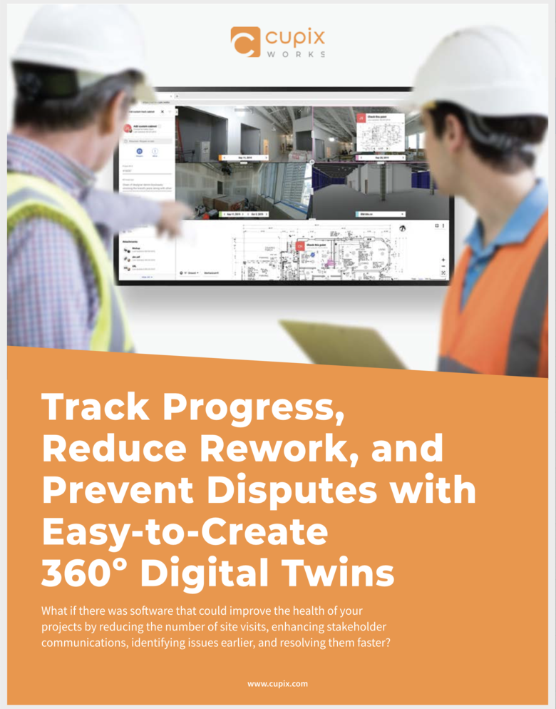 Page 1 of 4 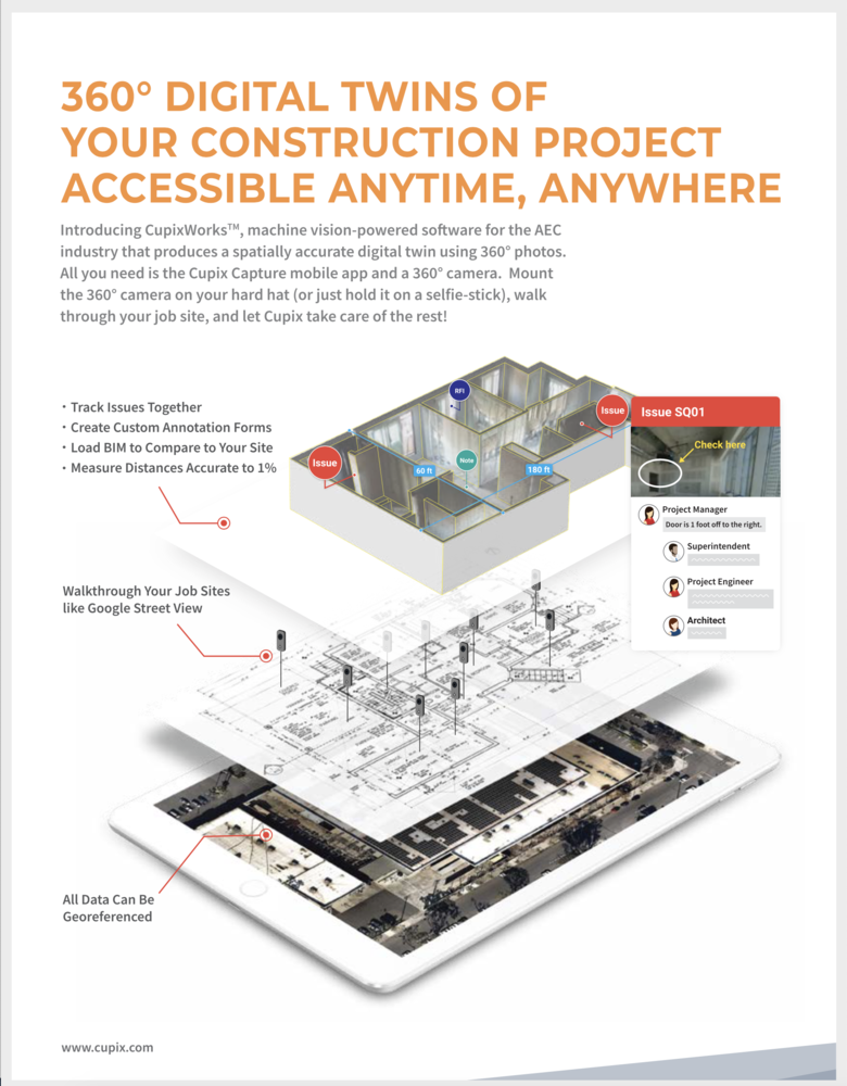 Page 2 of 4 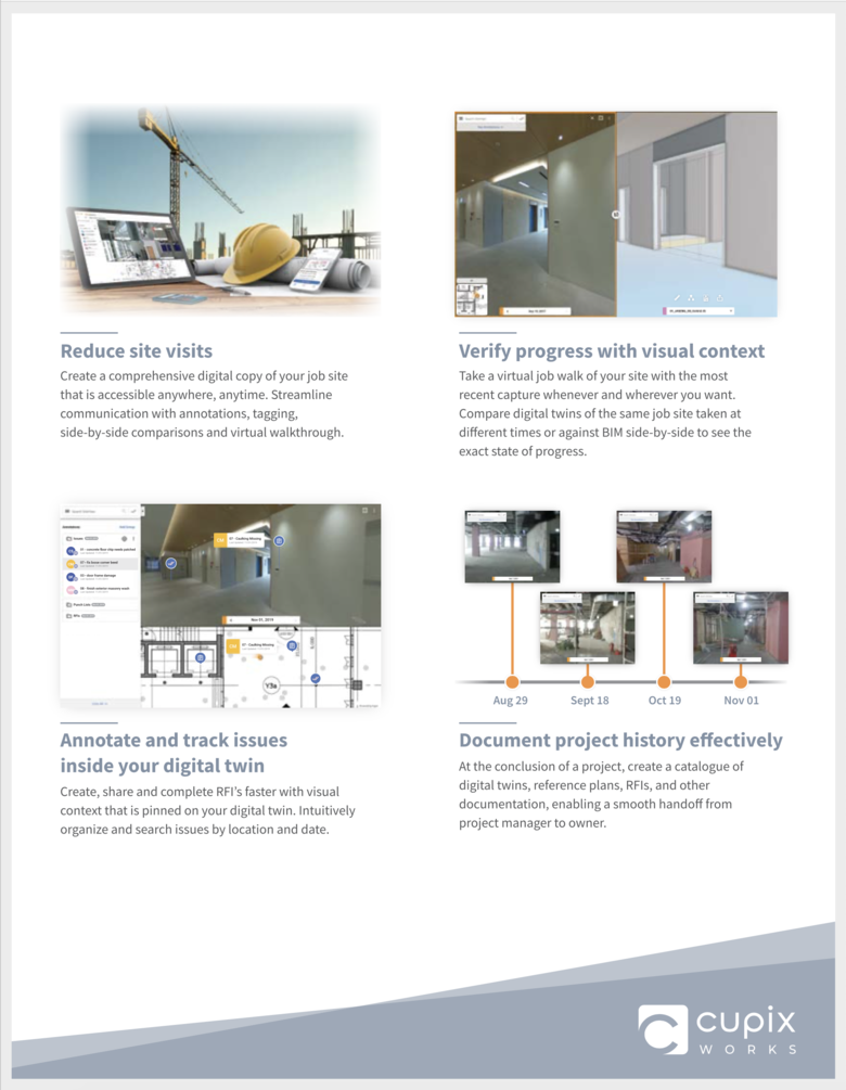 Page 3 of 4 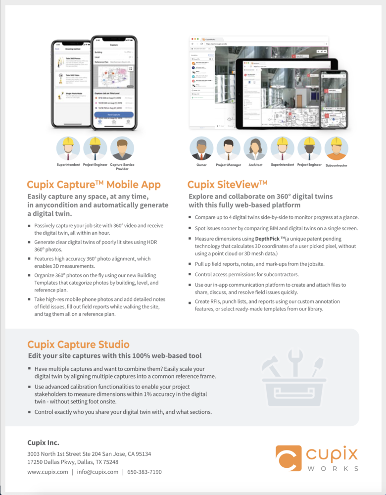 Page 4 of 4 |
||
| Post 7 • IP flag post | ||
|
|
zenith012 private msg quote post Address this user | |
| Hello All, Wanted to get feedback on Cupix from any current/former clients? The good, the bad, the ugly..... Any info appreciated. Thank You David. |
||
| Post 8 • IP flag post | ||
 WGAN Forum WGAN ForumFounder & WGAN-TV Podcast Host Atlanta, Georgia |
DanSmigrod private msg quote post Address this user | |
| @zenith012 What is your use case? What are you trying to accomplish? What are the deliverables that you are seeking? What problem are you trying to solve? Thanks, Dan |
||
| Post 9 • IP flag post | ||
|
|
zenith012 private msg quote post Address this user | |
| Looking for general feedback to start. Does it work for you with what you use it for, Is support responsive etc. Cupix seems to be the most 'automated' service from the materials I read in that some production can take days with other 'products' with similar side-by-side comparison features. The general use cases are in the first note on this thread (copied below) We will buy whatever 360 camera is best in the 1K or less range. Thanks! David. <snip> We do construction in large buildings (commercial, office, large residential, hospitals, airports, schools) We are mostly concerned with the inside of the building - so that is the focus. We want to relatively easily have a walkthrough which (in the end) produces a 360 scene, a walk/fly through flow (like google maps bopping along the arrows from place to place - or jumping from a plan to a place via a plan with multiple floors. We would like to do this over time - so compare the two spaces side by side to see how much work was completed as we walk through the same space. Want the two spaces to line up as automatically as possible (i.e. don't want to have to dedicate people to process the walkthrough, or have to adjust the side by side lining up each 'step' we take during the walk/fly though). - Cloud or Deployed is fine. - Pricing needs in the end to make sense. Since we have a lot of SFT any pricing model listed will need to be enterprise and probably not any website listed model - Geometry is not very important - it is more the 'status' reporting aspect and fly-through - Support is very important. If there is frustration the project managers will end this immediately. We know training is important and will dedicate time - but we all know why 'the Devil is in the details' is a phrase. |
||
| Post 10 • IP flag post | ||
 Cupix Director Cupix Directorof Sales San Francisco |
scott_cupix private msg quote post Address this user | |
| Hi David, I recommend you setup a demo with our team. Feel free to email me at scott.anderson@cupix.com or phone at 650 785 2122. We have first hand experience in the high-rises and resorts types of building you seem to be targeted. Realtors on this forum can work with current version of Cupix with no specialized training. But the type of software tailored for you would be Cupix Works. We have support offices staffed with application engineers in Dallas, California and Korea. The Korea office can be helpful for overnight initial project setup and project support, and we frequently rely on them to provide fresh results in the morning. This is especially useful for new users to CupixWorks. Speed of capture can be fast and depends largely on lighting and camera. You'd be crawling through a unlit tunnel and could be flying/running on rooftop. The level of detail you are trying to capture affects speed - on open deck takes more time to capture. There are no square footage limits and you can determine the speed of processing. Higher accuracy with measureabilty, for example prior to wall or ceiling close-in is better served by a more time-intensive data processing to provide the most accurate 3D measurements for the building lifecycle. A technical RFI response can also be better served by Cupix higher accuracy data processing option to save a PE or architect's visit to the jobsite. But for daily progress, we usually recommend the faster processing options which provide the same base features: natural google-street view style walkthrough with vertical UP/non-tilted orientation, automatic time-vs-time comparison, automatic time-vs-BIM comparison; and more, just faster and with less accuracy. So this fast option would probably be best for you. Pricing will make sense and we can cover this in a call. |
||
| Post 11 • IP flag post | ||
Pages:
1This topic is archived. Start new topic?


